Tusciae Antiquae Typus, Ortelio, 1584 (engraved, b/w) - antique map reproduction

Code: FOR REG 42bn

  • € 93.44
  • VAT: 22% Included


Editor / Manifacturer: Cartageo Antica Artigiana

  Cartageo Antica Artigiana (Rufina (Florence) - Italy)  
  (source Cartageo.com)


Cartageo’s handicraftsmen has been recreating antique prints whose accuracy to the originals results in exquisite and prestigious artistic creations. These beautiful and interesting subjects are important for the historical and geographical information they offer. They embrace various historical periods in which man’s evolution has enabled him to widen his horizons by learning more and more about the surrounding environment, its representation and measurements. These works also have a remarkable aesthetic effect making them perfect for homes and offices where they may be admired and be the subject of interesting conversation. The accuracy in the production of these works is not simply a slogan. The handmade realization employs the same techniques used in the past for printing and mounting. The printing of the subjects employs the use of copper plates upon a manual press thus producing one of the main characteristics of our work: engraving. The final result allows you to feel with your fingers the texture of the material, follow the lines, writings and figures that make up the actual work. The high quality product is made even more precious because of the choice in the paper we use: it is 100% pure cotton paper, (the same that was used centuries ago), and it is mounted on pure cotton canvas. This process allows the works to be folded easily and thus can be better preserved. The mounting on canvas is followed by an aging process which using only natural substances. The “trimming” you find on the borders is the last touch giving at the maps the antique look. Upon request the works can be enriched even more by watercoloring done by masters in the field. Each subject is accompanied by a thorough historical background that facilitates the reading of the map as well as transmiting historical and cultural aspects of a given context.

Cartageo’s catalog includes approximately 180 subjects spanning from the 16th to the 18th centuries, as well as some examples nearer our own times. It includes, however, even more antique subjects like the “Tavola Peutingeriana” dating back to Roman times, circa 350A.D.. The stylistic differences varying from one epoch to the next are clear: one of the most evident is the tendency to represent a given subject with greater precision, or more realistic precision, thanks to the progress made over the centuries in the developing and perfecting of instruments of measure. Other differences can be found in the decorations adorning the maps or other subjects. From 1500 until 1700 there was in fact an evolution resulting in the progressive inclusion of scroll ornaments and ornamental figures in order to embellish the works and give them a stronger visual effect. After the 19th century there was instead a reversal of this trend: a return to the essentials and a refinement in technique. There are not only “temporal” or stylistic differences, but geographic ones depending on the depicted subject (world maps or planispheres, continents, countries, regions, cities, etc.). Cartageo also offers numerous other subjects that vary from panoramic city views to scenes of long ago pastimes to religious representations.


Category: Antique map reproduction

Dimensions: 47 x 33 cm

Availability:

Shipment Time: 5-7 days


  • Qty:
Description

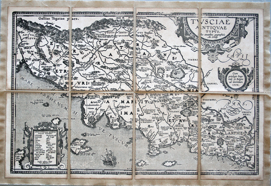
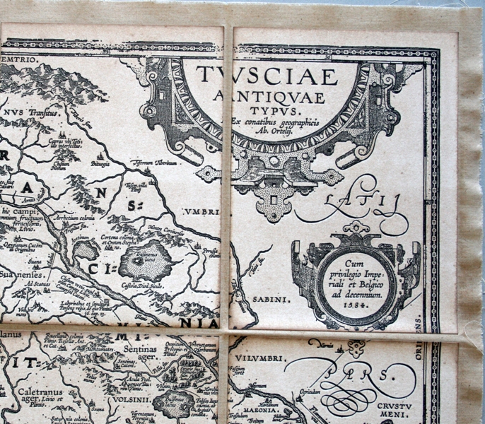
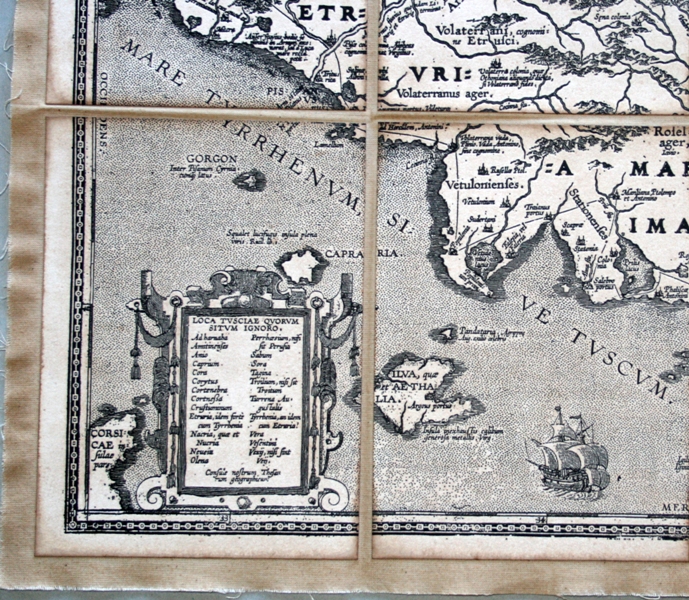
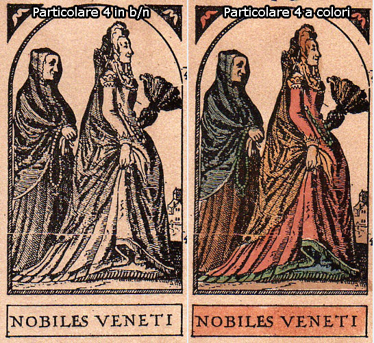
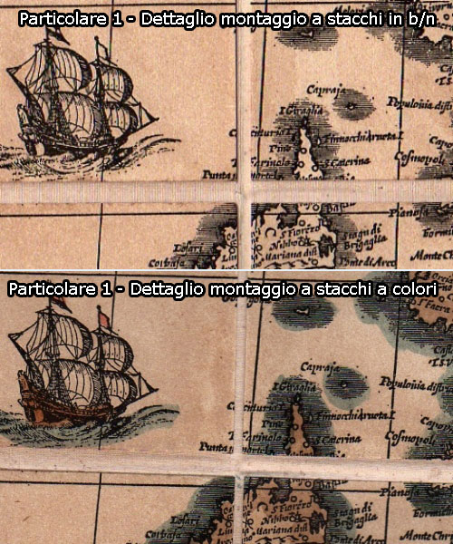
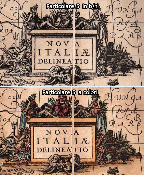
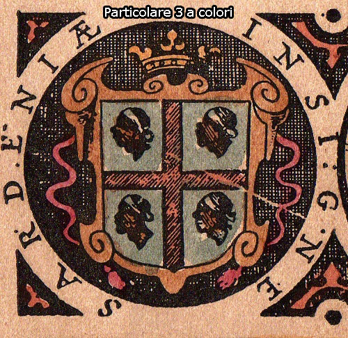
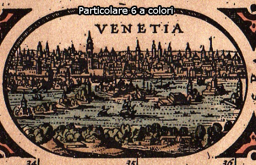
Abraham Ortelio was a typical intellectual of the Renaissance as well as a curious explorer, fascinated with antiquities. During the International Fair of Frankfurt on the Meno, (1554), he bought his first maps which he would later mount on canvas. He was aware of the scientific and commercial advantages tied to the production and printing of maps, therefore he published in 1564 his first map, Typus Orbis Terrarum, (copper engraved). In later years he would publish other important works, such as America, Asia (1567) and finally the atlas Theatrum Orbis Terrarum in 1570. The production of this work enjoyed a long publishing during his lifetime and continued even after his death. We present this Tuscia (1584) as it was originally created and printed, just as the author had done. Realized according to the copper engraving technique it consists of several sheets on cuts of cloth, which improves its maintenance, makes its legibility casier and facilitates the transport.

Note

Click on the Editor/Publisher name to see some maps details and to know informations about materials and production process.

The realization process of the maps is visible in this video on You Tube.